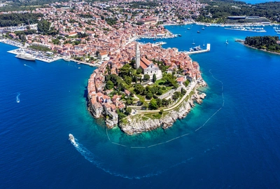
Istria has more thunderstorm days a year than anywhere else in Croatia. That is not local folklore: a University of Zagreb analysis of lightning data across the country put the northeastern Adriatic, and the Istrian peninsula in particular, at the top, on a par with the Friuli plain across the water, which is one of the most thunderstorm-prone corners of Europe.
Almost all of those days pass as a grumble somewhere inland. What people here call a neverin, or nevera further down the Adriatic, is the rarer thing: a violent squall that builds in minutes, does its worst for half an hour, and leaves behind an evening so calm you would not know it happened.
Be clear about the odds. A storm violent enough to do real damage in Rovinj happens perhaps once or twice in a summer, and the genuinely severe ones do not arrive every year. Most visitors will never see one. The reason it is worth ten minutes of your attention anyway is that the few which do arrive have hospitalised people in each of the last two summers, and the gap between "fine" and "not fine" is unusually short.
Two different storms, and they arrive from different directions
This is the part most guides get wrong, and it matters because it changes which way you should be looking.
The afternoon storm builds over the land, not over the sea. On a hot day with light wind, sea breezes push inland from both Istrian coasts, the west and the east, and collide somewhere over the middle of the peninsula. That collision line is where the cloud goes up. Modelling of Istrian storm days puts the first cells directly over the higher ground in the northeast of the peninsula, inland of Rovinj, typically building through late morning and firing in the afternoon. Where they go next depends on the wind above them: they can track south down the peninsula, or, on days with a northwesterly aloft, work their way back northwest against it.
So on a still, baking afternoon the thing to watch is not only the sea. It is the sky behind the town, over the hills towards Pazin.
The frontal neverin comes off the water. The other kind is an organised line of storm arriving from the northwest, off the sea, usually when a cold front pushes into all that stored summer heat. This is the one that produces a shelf cloud on the horizon and the sharpest wind, and it is the kind DHMZ issues warnings for. Their yellow wind warnings for the west Istrian coast routinely quote gusts of 35 to 45 knots, which is 65 to 85 km/h, arriving as a step change rather than a build.
When that squall comes in from the southwest, people here call it a garbin. It is the wind that does the damage along this waterfront, and it is the direction DHMZ most often names in its warnings for the west Istrian coast.
Waterspouts offshore are not rare in either case. They almost never come ashore, but they are a reliable sign the system is a serious one.
What a bad one actually does
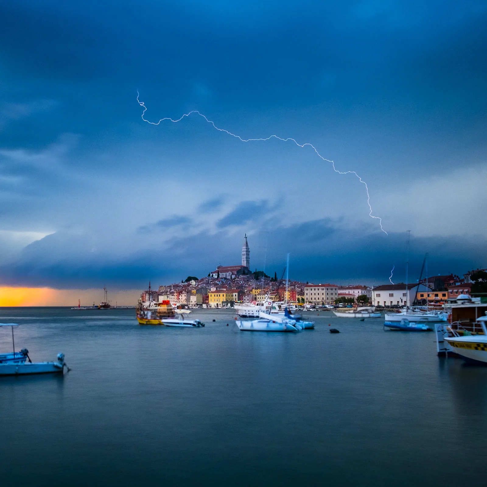
Two recent storms show the range, and both hit Rovinj harder than anywhere else in Istria.
On 21 July 2026, four supercells formed over the sea and the worst of them came ashore here. It dropped hail over five centimetres across, the largest seen in Istria in years, before moving inland towards Zminj. Injuries were light. Cars were not.
On the evening of 16 June 2025, wind, rain and hail did serious damage across the county with Rovinj worst affected. Four yachts were driven aground, trees came down across roads, and seven people ended up in hospital in Pula, three of them seriously hurt and one in a life-threatening condition. Over fifty firefighters worked in Rovinj alone.
What stands out is how people got hurt. Not lightning, and not at sea: falling trees, and the worst of it in campsites. Amarin and Porton Biondi took the heaviest damage of any site in the area. That is the single most useful fact on this page, and it points somewhere specific.
If you are camping
Rovinj's campsites are pitched under mature pine, which is why they are pleasant in August and why they are the wrong place to be in a severe squall. Amarin and Porton Biondi were the worst hit in 2025, but the pines are the same at Polari, Vestar and Valalta. If a serious storm is forecast or you can see one coming on radar, get out of the tent or the awning and into a solid building or a car, and do not park or pitch under the biggest tree on the plot. Campsite staff will tell you where to go. They have done this before.
Hail and your car
Five centimetre hail writes cars off. If you are driving and it starts, get under a bridge, into a garage or under a petrol station canopy and wait it out rather than pressing on. If you are parked and there is warning, covered parking is worth the walk, and failing that, away from trees rather than under them, since a branch is the other way a car gets flattened here.
The other one: the sea, and where you park
Everything above is a summer problem. Rovinj has a winter one too, it is older and better documented, and it is the reason to think twice about where you leave a car.
The mechanism is not a squall. A jugo, the southeasterly, pushes water northwest up the length of the Adriatic and piles it into the top of the sea. Put a deep low and a high tide on top of that and the water simply arrives, and Valdibora, the low northern harbour, is where it arrives first.
The benchmark is 28 November 1965, still remembered as the worst maritime disaster the town had suffered. Five metre waves destroyed 1,500 metres of shoreline, from the Monument to the Fallen Fighters to the railway station, with Valdibora worst hit and a bill running past two billion dinars in the money of the day. There are photographs, and they are worth two minutes.
It is not history. On 10 February 2016 the sea came into the old town and flooded Valdibora, into shops, flats and cellars, with gusts over 100 km/h recorded offshore. Dozens of cars were damaged and some were simply moved by the water. On 31 October 2023 the fire service and the municipal company spent the day shifting cars off Velika and Mala Valdibora while the waves broke over them. As recently as February 2026, jugo and a high tide put the moored boats level with the riva.
So: if a sea storm is forecast, do not leave a car on Velika or Mala Valdibora, and do not walk the outer riva or the rocks at the point to watch it. The waves come over the edge, the stone is slick, and this is the one Rovinj hazard with a sixty-year written record.
Use a radar app, and use it properly
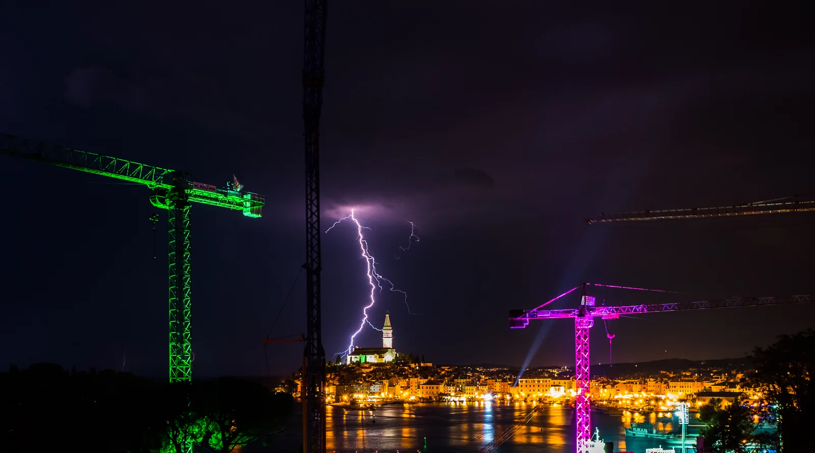
This is the single most useful thing on this page. A forecast tells you a storm is possible today. Radar tells you whether one is coming at you, from where, and roughly how long you have. For a decision like whether to take a boat out after lunch, that is the difference between guessing and knowing.
Rain Alarm is the one to have on your phone here. It shows live radar and, more usefully, it will push a notification when rain is heading for wherever you are, which is exactly the alert you want when you are not staring at your phone. Any decent radar app does the same job, so if you already have one you trust, keep it.
What to actually look at, whichever app you use:
- Animate it. A still radar image tells you where the rain is, not where it is going. Play the last hour and you will see the direction and the speed straight away.
- Look inland as well as out to sea. Given how Istrian afternoon storms form, a cell sitting over the interior and drifting towards the coast is the common case, and it is the one you will miss if you only check the water.
- Judge the gap in time, not distance. A cell 30 km away moving at 40 km/h is not far away, it is 45 minutes away, and the wind at its leading edge arrives before the rain does.
- Watch whether it is growing. A cell that is getting larger and more intense over successive frames is doing so because conditions favour it, and it will probably keep doing that.
How to see one coming without a phone
The warning is visual and short, but it is there:
- Towering cloud with hard, cauliflower edges. If the cloud is taller than it is wide and the top is sharpening rather than fraying, it is still growing.
- A shelf cloud. A low, flat bank rolling towards you like a ledge. If you can see one, stop what you are doing and get in.
- The air goes cold and still. A sudden temperature drop and a lull are the front announcing itself. The lull is not the storm passing. It is the storm arriving.
- Boats coming in. If the fishing boats and the tour operators head back early on a clear afternoon, they know something. Follow them.
If you are on the water
This is the situation that actually hurts people, and almost all of it comes down to one decision made early rather than several good decisions made late.
Go in at the first sign, not the second. A neverin outruns a small boat comfortably. If you are weighing up whether you have time, you have already answered the question.
Head for the nearest shelter, not your home port. Reaching a sheltered bay you did not plan to visit is a good outcome. Crossing open water to get back to the marina you started from is not.
Life jackets on before it arrives, not once the sea is up. Putting one on in a pitching boat is a different job entirely.
Do not anchor off a lee shore and hope. The wind at the leading edge is what drags anchors, and a rocky shore behind you is the whole problem.
If you have chartered a boat, the operator will go through the forecast before you leave. Take that conversation seriously even on a cloudless morning, because the morning is not when this happens.
If you are on a beach
Get out of the water at the first sign. Lightning over water is the risk, and swimming during a storm is genuinely dangerous rather than merely unpleasant.
Rovinj's beaches are backed by pine, which is shelter from rain and exactly the wrong place to be during a lightning storm. A car or a building is the right answer. If you have walked out into Punta Corrente or one of the quieter coves and have twenty minutes of path between you and town, start walking before the rain rather than after it.
Loose umbrellas and parasols become projectiles at 70 km/h. Take them down rather than leave them.
If you are in the old town
Do not stay out in it. This is the section people skip because a town feels safe, and in a strong wind the old town is the opposite.
The roofs are old terracotta, laid rather than fixed, and in a hard gust they lift. So do chimney pots, satellite dishes and the television aerials that have been on some of those roofs for decades. All of it lands in streets that are two metres wide, walled on both sides, with nowhere to step aside and nothing overhead to shelter you until you are actually indoors. A tile falling four storeys is not a near miss, it is a serious injury, and the narrow calli funnel the wind rather than breaking it.
The rest follows from that:
- Get inside a building, not into a doorway. Standing under the eaves puts you exactly where the tiles come down.
- Stay out from under the big pines along the waterfront and in the park. Falling trees are what put seven people in hospital in June 2025.
- Bring in anything loose from a terrace or balcony before it goes over the edge into the street below.
- Keep off the outer riva and the rocks at the point. The waves come over the edge and the stone is slick and uneven.
- Give it half an hour after it passes before wandering back out. Tiles that were loosened but did not fall come down later, and so do branches.
Restaurants with outdoor terraces will pull the awnings in and move you inside. It is not an overreaction, and it is the right instinct to copy.
When they happen
Neverin season overlaps almost exactly with peak tourist season: most common from July through early September, and heavily weighted to the afternoon and early evening, after a full day of heating. A run of very hot, still days is the classic setup, so the storm often arrives at the end of the stretch of weather everyone has been enjoying most.
Individual cells are usually done inside 20 to 60 minutes, though an unsettled afternoon can produce several in a row. Most summers bring one or two that are worth taking seriously, and plenty of visitors spend a fortnight here in August and see nothing more than a distant grumble over the hills.
Where to check before you go out
Our Rovinj forecast carries the marine conditions for this stretch of coast: sea state, wind in knots, and any official warning in force. Those warnings come from DHMZ, the Croatian Meteorological and Hydrological Service, and the west Istrian coast is its own marine warning region, so what you see there is for this water rather than for the Adriatic in general. For the full national picture, DHMZ publish at meteo.hr.
Two honest limitations are worth knowing.
First, no forecast predicts an individual neverin well. Models are good at saying conditions today favour storms in the afternoon and poor at saying which hour and which stretch of coast. Treat a forecast that mentions storms as a reason to keep the day flexible, and let radar make the actual call on the day.
Second, a warning covers a window, not a moment. A yellow wind warning for Friday between noon and six does not mean the wind arrives at noon. It means that is the period to be careful in.
After it passes
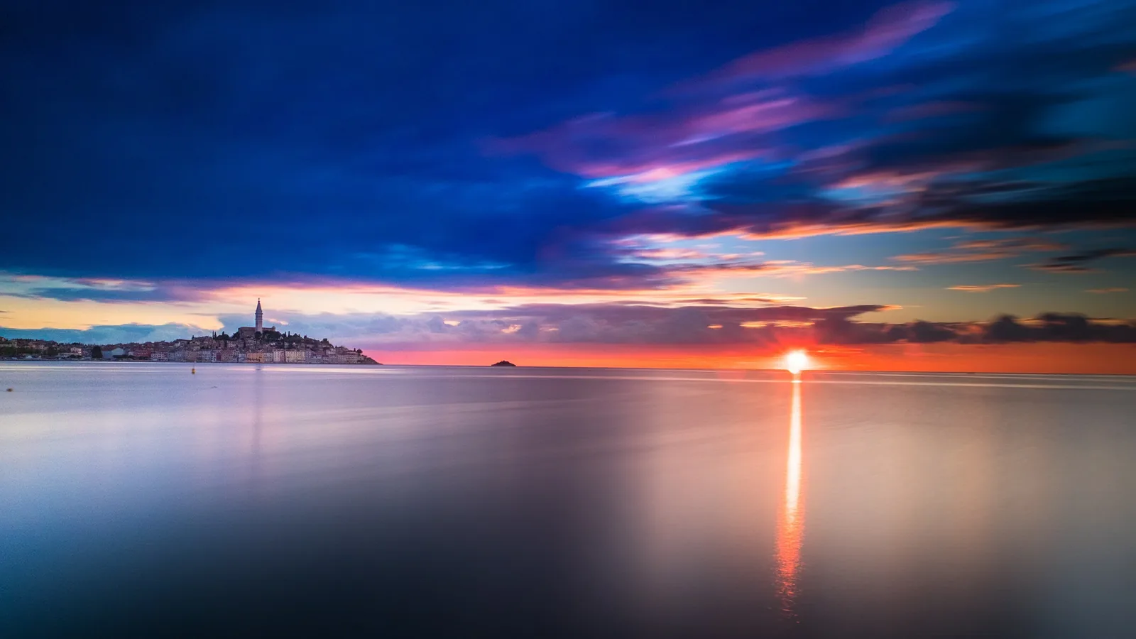
The hour after a neverin is often the best of the day. The heat breaks, the light goes gold and strange, the crowds have gone inside, and the sea flattens fast. If you have been waiting to photograph the old town, this is when.
Give the sea a little longer than the sky. Swell takes longer to settle than wind does, and the water can stay lively for an hour or two after the rain stops.
For how the weather behaves across the rest of the year, including which months carry this risk at all, see our guide to the best time to visit Rovinj.